If you live in Daviston, the park at the end of Horseshoe Bend Road stops being a national park sometime around your third visit. It becomes the long loop you drive when the house feels small, the picnic pavilion you claim on a Tuesday, the river bend where the light goes gold before anyone else notices.
August is the month most visitors skip. Heat, humidity, no fall color yet. That is exactly why residents should be paying attention. The park does its most interesting work for locals right now, and this year there is more of it to work with than there has been in eighteen months.
The Thesis, Plainly
Horseshoe Bend runs on two calendars. Tourists follow the March one, arriving for the battle anniversary and the living history camps. Locals should be following the August one. A free scholarly symposium, a reopened trail system, low weekday visitor counts, and a boat ramp that most people forget exists all stack into a window that closes when the school year gets moving. Treat late summer here as the park's second wind, not its dead season.
What The Tornado Took, And What Came Back
The park you visit this August is not exactly the one you visited two summers ago. On March 15, the park and tour road were closed after an EF3 tornado directly hit the park. The buildings survived. The grounds did not. Downed timber, blocked roads, damaged wayside signs, sections of trail unrecognizable.
The National Park Service reopened the tour road and portions of the eastern trail system on Dec. 15, and staff have been chipping at the rest ever since. Superintendent Andrew Miller framed the reopening as partial rather than finished, noting there is still a lot more work to be done from the tornado's devastating impacts. Practically, that means two things for you. The classic loop is walkable and driveable again. And the landscape reads differently now, thinner in places, with new sightlines across ground that used to be closed canopy. If you have not been since the reopening, this is not the same walk you remember.
Read The Auto Tour As A Walking Route
Most visitors drive the three-mile tour road, stop at the pullouts, get back in the car. Residents have the luxury of ignoring that pacing. The 2.8-mile trail through the park shadows the same route on foot, and once you have done it a few times, the stops start to feel less like a history lesson and more like a set of small rooms in a large yard.
A few worth lingering at:
The barricade line. A row of white posts across an open field. This is the barricade that the Red Sticks built to protect themselves; the white posts mark where it would have been, but that would have been pine logs five to eight feet tall and 1,200 feet wide. Stand at one end. Look down the line. That is the width of a modern city block.
Cotton Patch Hill. The vivid view of where General Andrew Jackson's army first arrived. Best light in the last hour before sunset.
Village Overlook. The overlook faces where the village would have been, a city of about 300 houses, where 350 women and children took refuge on the day of the battle. The quietest stop on the loop.
Walking the route instead of driving it turns a forty-minute drive-through into a two-hour morning. Bring water. The shade is uneven since the storm.
The River Side Most Residents Skip
The other half of the park has nothing to do with the battlefield. The Horseshoe Bend Boat Ramp gives access to the Tallapoosa River, and if you own a kayak, you already have a Sunday plan you have not used yet.
The boat ramp puts you on the Harold Banks Canoe Trail, popular with kayakers, and there is a lot of recreational activity here at the park. The stretch through the bend itself is the reason. You are paddling around a geographic feature that gave the battle, the park, and the road their names. The current is manageable. The banks are undeveloped. You will see more herons than people on a weekday morning.
If you are not a paddler, the picnic tables and pavilions along this side of the park work as a low-effort dinner spot on a Thursday. Pack sandwiches. Skip the drive to Dadeville.
Why August Is The Calendar Anchor
The reason to plan the month around the park, not the other way around, is the symposium.
August brings a free symposium with Alabama historians, delving into themes connected to the park.
Free is the operative word. Alabama historians is the other one. This is not a ranger talk at a wayside. It is a scholarly program you can walk into without registering for a conference or paying a university fee. If you have ever wondered why the barricade collapsed the way it did, or how the Treaty of Fort Jackson mapped onto the county lines you drive through every day, this is where you get answers from the people who wrote the books.
Confirm the date and time by calling the visitor center at 256-234-7111 before you go. Symposium programming shifts year to year.
The Wildlife Calendar Runs On Its Own Schedule
In this verdant sanctuary, white-tailed deer and wild turkeys roam freely, while armadillos and coyotes make rare, nocturnal appearances. Late summer is fawn season winding down and turkey poults getting bold. Dawn and the last hour before dusk are when the deer come out to the open fields near the barricade line. If you have kids or grandkids visiting from out of town, this is a better sell than the museum. The wildlife is free, moving, and does not require a twenty-minute film.
Small Logistics That Save A Trip
A few things worth knowing that the signs do not tell you clearly:
- Cost. There are no parking fees or entrance fees. Camper, trailer, motorhome, sedan. Same price. Zero.
- Dogs. Dogs must be on a leash no longer than six feet at all times. The nature trail is dog-friendly. Bring water for them too.
- Passport stamps. If anyone in the household is collecting national park stamps, the visitor center has them.
- Address for guests. 11288 Horseshoe Bend Road, Daviston, AL 36256. 256-234-7111.
- Where you are, in context. The park is about 12 miles south of Dadeville, and New Site is about 5 miles north. If you are coming from the north side of Lake Martin, the New Site approach is faster than routing through town.
The Case For August Over October
The obvious counter is that October is better. Cooler weather, fall color, easier hiking. That is true, and it is also why October is when the park fills up. If you value the empty parking lot and the picnic pavilion you did not have to reserve, August pays dividends October never will. The heat is real. Start at eight in the morning, be off the trail by eleven, and use the afternoon for the visitor center film and the museum. You will have the place mostly to yourself.
The other advantage is timing. The park has been open again for a full season now, staff have had months to reset signage and interpretation, and the storm recovery is far enough along that the walking is honest. Come back in the fall and the trails will be crowded with people asking what changed. Come now and you will already know.
A Note For Anyone Thinking Longer Term
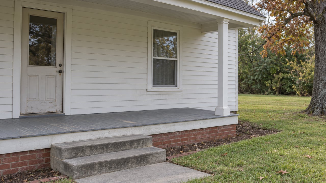
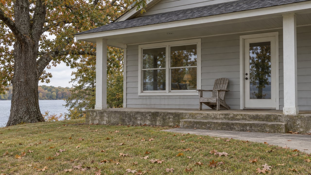
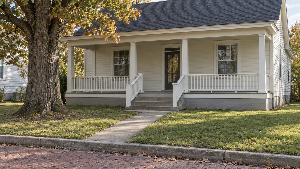
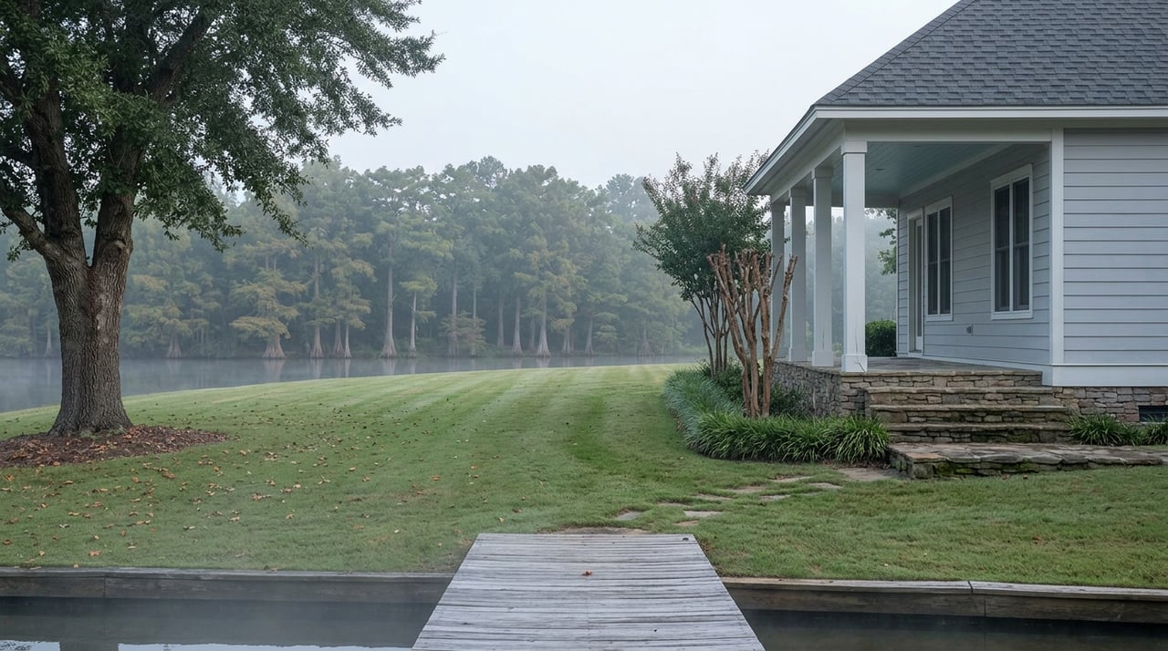
The Daviston most of our neighbors know is the small-town Daviston: quiet streets, mature trees, deep porches, the kind of place where the same three trucks pass your driveway every morning. What is easy to forget is that a federally protected 2,000-acre battlefield sits at the edge of it, and the value that adds to living here is not the kind of thing that shows up on a listing sheet. It shows up in August afternoons like this one.
If you have been thinking about what your Daviston home is worth in a market where buyers increasingly ask about walkability, access to open space, and proximity to public land, that conversation is one we are glad to have. Lake Area Realty works this corner of Tallapoosa County closely, and we know how buyers from out of state read a property that sits ten minutes from a national park. Schedule a Free Consultation whenever the timing feels right. In the meantime, the trail is open. The pavilions are empty on Tuesdays. Go use the park you already own a small share of.